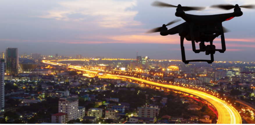
IoT and drones automate field operations
As the Internet of Things sweeps through a variety of industries, it has started to make its mark by reducing costs and optimizing efficiency. In August, 2019, for example, McKinsey reported that Technology advances had reduced field operation costs by 10%-40% and improved overall field operations productivity by 30%-40%.. Key technology drivers were intelligent and prescriptive action boards, artificial intelligence and machine learning.
While many of these field operation advances are in on-the- ground applications such as smart city monitoring, predictive manufacturing, field-based asset management and logistics optimization, IoT and drones are also “taking flight.”
“We have really seen drone interest pick up,” said Mike Winn, CEO of DroneDeploy, a provider of drone and UAV (unmanned aerial vehicle) mapping software. Winn’s observations cohere with a 2021 study conducted by Research Dive, which projects a 19.9% CAGR growth in drone revenue through 2017. growth in drone revenues through 2027.
Drivers of Drone and IoT Adoption
IoT-enabled drone adoptionis delivering operational efficiencies and savings in the field.
Here is a sampling of some of these efficiencies:
- Construction. For years, the construction industry has struggled with cost overruns and a chronic inability to monitor progress, track equipment, and manage projects and coordinate efforts at sites that are geographically dispersed from each other. Now, drone flights can document material supplies and work progress, facilitating better project management and cost savings.
- Until recently, it wasn’t uncommon for a traffic accident on a major interstate to tie up traffic for hours and for miles. Now with the aid of drones, both law enforcement and insurance companies can “get on-site” quickly, documenting the physical details of accidents with drones, and without having to wait for physical crews to be dispatched to do the work “by hand.” The use of drones has reduced time to document from 2 to3 hours to 20 to 30 minutes. https://www.pix4d.com/blog/drone-mapping-crash-investigation.
- Mining and gas. In mining and natural gas exploration, difficult-to-access areas with challenging topographies can now be mapped by drones, eliminating the need and cost of field crews, along with the hazards they might be exposed to.
- The military uses drones to execute dangerous reconnaissance missions, eliminating the risks these operations present to human personnel who would otherwise have to perform them.
- Health care. Drones have been used to deliver urgently needed medical supplies to populations that live in remote and isolated areas of the world.
To read the complete article, visit IoT World Today.


