Getting ahead of natural disasters: Field-tested planning best practices from San Mateo and Santa Cruz
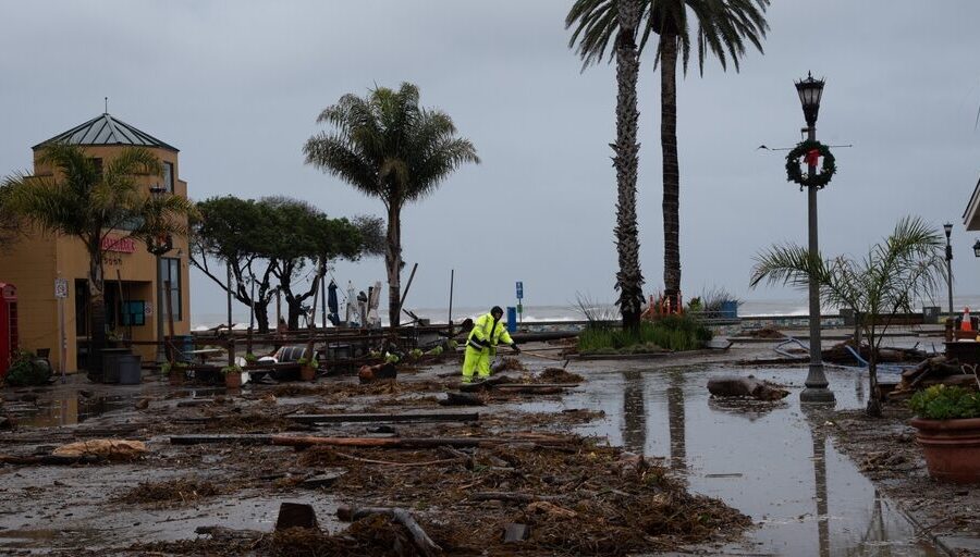
Over 16 days at the beginning of this year, a state of emergency was declared in 51 of California’s 58 counties due to atmospheric rivers and winter storms. From storm surges, mudslides, downed trees, heavy snow, avalanches, power outages and road closures, to river and tributary floods, potential dam spills, as well as urban, residential, and coastline floods—everything was happening everywhere at once. These conditions presented unique challenges for communities, emergency managers and first responders.
After the hazardous conditions had faded and emergency crews could rest, I connected with the two first responders who managed these incidents first hand, Tony Blackman, battalion chief, San Mateo Consolidated Fire Department, and Nick Baldrige, lieutenant, Santa Cruz County Sheriff’s Office, on the lessons learned from the trenches. Below are the combined insights on how emergency teams across the country can get ahead of natural disasters. They include leveraging pre-planned map-based zones and hyperlocal information to protect communities, and managing and coordinating evacuations during prolonged emergencies that require complex collaboration on the ground.
Geo-segment your community
When you’re not actively responding to crises, invest in segmenting your communities into granular response zones. Factor in population data, topology, land use insights, road networks and more, to develop a comprehensive picture of your communities, people and assets. This segmentation, ranging from entire counties to fractions of city blocks or individual properties and facilities, enables emergency managers to quickly identify impacted areas, and communicate specific location details to dispatch centers and to the public through multiple channels. These include social media platforms, community websites, WAZE, and local or national media outlets.
Such granular zones allowed the San Mateo teams to know the exact number and location of residents and critical facilities, like hospitals, senior residences and homes. San Mateo’s first responders then used these zones to identify and address issues with under-a-minute response times. They also dynamically reconfigured the community zones as the crisis made headway to better address the on-the-ground situation, and to automatically update both first responders and the public with contextual alerts.
Another advantage of dividing up neighborhoods into multiple zones is to ensure evacuation orders are sent only to areas where it is necessary, avoiding over-notification and traffic congestion. This is also valuable during repopulation after an incident.
To read the complete article, visit American City & County.


