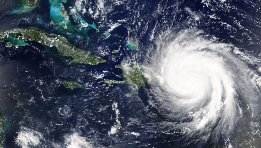
Advances in satellites, networking technology increase the options for disaster response planning
Of all the natural disasters that plague mankind, hurricanes are perhaps among the most predictable. Satellites, aircraft observations, weather balloons and ocean buoys, coupled with sophisticated forecasting models, enable scientists to begin tracking tropical storms almost the moment they form. The path of a storm is tracked continuously across oceans and its probable points of landfall are predicted days in advance.
Yet for all the advance warning, local and state governments face daunting challenges in managing the disaster response. Perhaps most important in delivering aid to those in need are reliable communications networks that link first responders from a wide range of agencies to one another, allowing the dispatching of emergency workers and the coordination of the many services required. As assuredly as hurricane season comes around every year, storms will cause power outages, disabled cell towers and inoperable telephone networks, making emergency communications all but impossible right when they are needed the most.
What’s more, paying for disaster response grows more costly every year, as changes in weather patterns create more frequent and stronger hurricanes, tornadoes, wildfires and flooding. Data compiled by the National Oceanic and Atmospheric Administration (NOAA) found that from 1980 to 2022, the U.S. had an average of eight weather/climate disaster events per year with losses exceeding $1 billion. Through the end of May, there have already been seven such events this year. The annual average for the past five years has been 18 such events.
The increased frequency and severity of these disasters has made it far more difficult—and expensive—for local and state governments to prepare and respond. This makes it more important to line up as many resources as possible in advance of a disastrous weather event, and to work with equipment and satellite bandwidth vendors to know what new resources might have become available since the last time an agency prepared its disaster plan.
In fact, several new technologies are emerging that may help reduce the cost of temporarily replacing communications networks with substitute equipment to lighten the burden on first responders today and into the future. These include Low Earth Orbit (LEO) satellite constellations, mobile antenna technologies, standalone 5G systems and more.
New satellite service options
One of the biggest changes is the availability of new satellite services. Satellites in geosynchronous orbit (GEO) are 22,000 miles from the Earth, far away from the downed power lines and damaged cell towers left in a hurricane’s wake. With decades of tried-and-true performance after hurricanes, GEO satellites remain a dependable and affordable option for emergency connectivity.
To read the complete article, visit American City & County.


